Serviços
Soluções tecnológicas em geociência em SIG aplicada no sector de energia e água, recursos minerais e petróleo, bem como nas áreas de Topografia, formação, licenciamento de ArcGISPro.
Topografia
Levantamento e coordenação de pontos de planimetria e altimetria com precisão e eficiência. Elaboração de projecto de estrada e loteamento.
Licença de AutoCAD.
Formação de AutoCAD.


Integração da plataforma Esri no Landfolio
Processamento de dados petrolífero e prospecção Mineiro e gestão de derrame com imagens de satelite.
Licença de Landfolio.
Sistemas de licitação e Gestão de Concessões de Cadastro Mineiro e Petróleo.
Projectos de Gestão de Contratos Com responsabilidade Social e Ambiente do Sector Mineiro e Petróleo.


Cartografia e SIG
Qualidade na inovação tecnológica.Gestão integrada de infra-estruturas, Cadastro Controlo de qualidade da cartografia. Desenvolvimento de Aplicação geoinformática.
Licenças de ArcGISPro.
Formação de SIG com ArcGISPro.


Serviços
Soluções tecnológicas em geociência em SIG aplicada no sector de energia e água, recursos minerais e petróleo, bem como nas áreas de Topografia, formação, licenciamento de ArcGISPro.
Topografia Avançada
Levantamento e coordenação de pontos de planimetria e altimetria com precisão e eficiência. Elaboração de projecto de estrada e loteamento
Planeamento Eficiente
Integração de técnicas qualificadas para a planificação de projetos multidisciplinares e criativos.
Formação e Criatividade
Desenvolvimento de soluções inteligentes e formação contínua para a equipe e clientes.


Integração de plataformas
Processamento de dados petrolífero e prospecção Mineiro e gestão de derrame com imagens de satelite.
Sistemas de licitação e Gestão de Concessões de Cadastro Mineiro e Petróleo.
Projectos de Gestão de Contratos Com responsabilidade Social e Ambiente do Sector Mineiro e Petróleo.
Cartografia e SIG
Qualidade na inovação tecnológica.Gestão integrada de infra-estruturas, Cadastro Controlo de qualidade da cartografia. Desenvolvimento de Aplicação geoinformática.
Licenças de ArcGISPro.
Formação de SIG e ArcGISPro.
Urbanismo
A aplicação de novas tecnologias. Processamento de imagens de satélite na construção do meio urbano e exploração.
Levantamento Topográfico e Acompanhamento.
Formação de AutoCAD Cívil 3D.
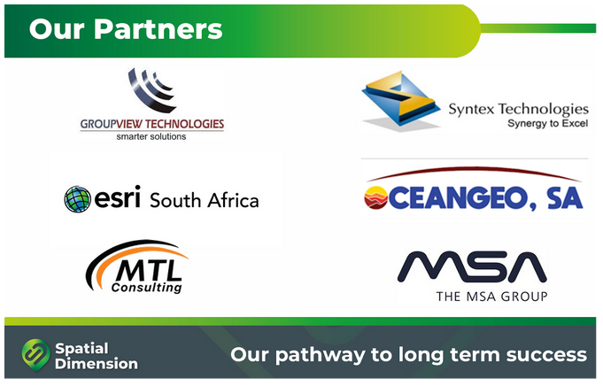
Parceiros
A Oceangeo, SA é especializada em geociência, oferecendo soluções tecnológicas para energia, água, recursos minerais e topografia, com foco em inovação e formação profissional.
Possui parceiros tecnológicos nacionais e internacionais que coloca ao dispor do projecto e dos nossos clientes com o intuito de atingir o sucesso em todos os projectos.
Acresce ainda reiterar o nosso compromisso em promover e garantir um processo efectivo de formação, de passagem de conhecimento e de acompanhamento/ coaching dos utilizadores e quadros técnicos dos nossos clientes, com o intuito de potenciar o sucesso efectivo do projecto e a capacitação de recursos humanos.